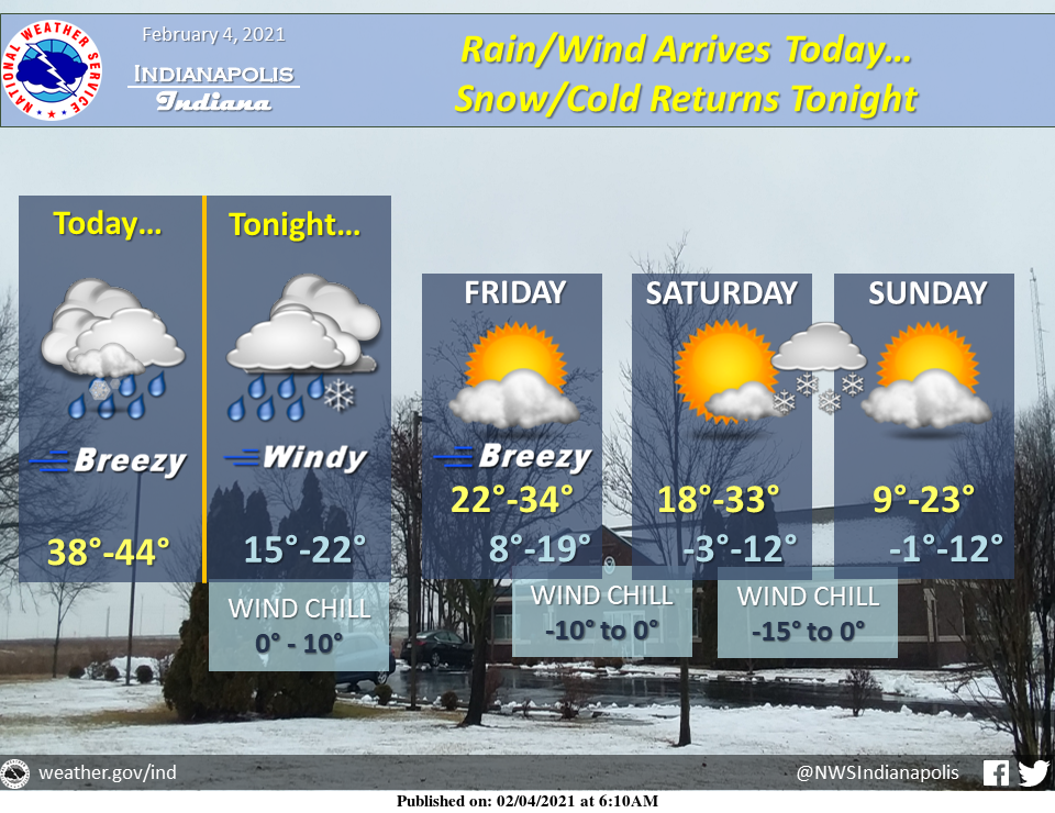
Warmer temperatures will return today; however, don't expect it to last.
Accompanying the warmer temperatures will be rain overspreading the area in the afternoon, with winds steadily increasing from the south. Winds will generally gust between 20 to 30 mph, with occasional higher gusts up to 40 mph.
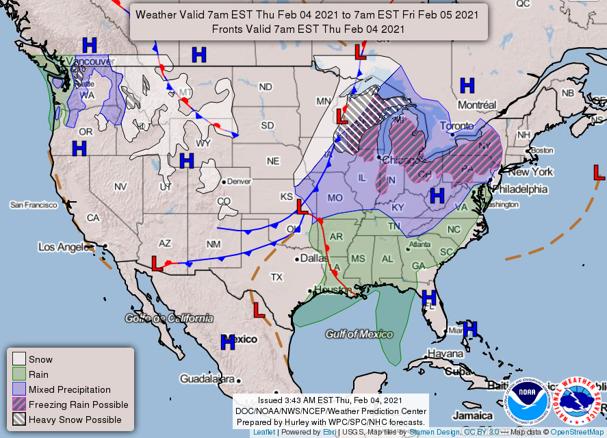
A strong frontal boundary arrives tonight, with rain transitioning over to snow and winds remaining breezy between 30 and 35 mph.
A strong polar blast will then prevail across Indiana for the rest of the week before a good chance of fluffy snow Saturday night.
AROUND THE UNITED STATES OF AMERICA
SOURCE: NWS Indianapolis.
Follow NWS Indianapolis on Twitter @NWSIndianapolis for the latest Indianapolis area weather news.