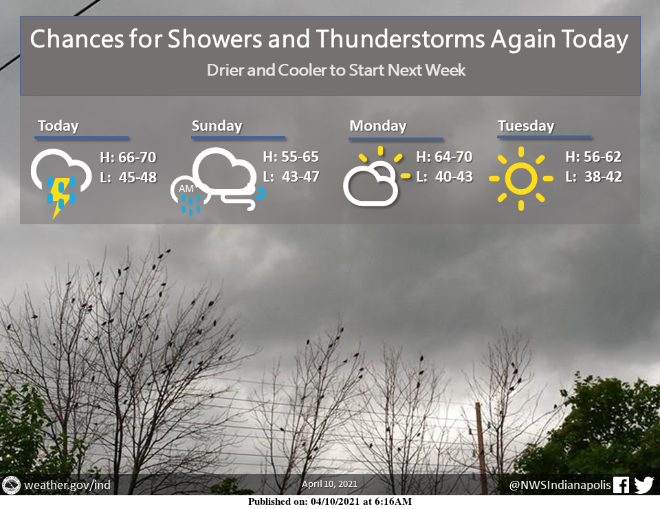
Light showers this morning will transition to scattered showers and thunderstorms this afternoon and evening.
Rain chances continue into Sunday morning followed by a stretch of drier weather.
A colder regime will push temperatures back near seasonal with highs in the upper 50s by mid-week.
With the recent stretch of warm weather, vegetative growth has increased significantly across the region. Beginning today, the spring frost/freeze season is now active for all of central Indiana. Frost/freeze headlines will be issued as needed going forward. #INwx #indy
— NWS Indianapolis (@NWSIndianapolis) April 10, 2021
THE UNITED STATES OF AMERICA 3-DAY OUTLOOK

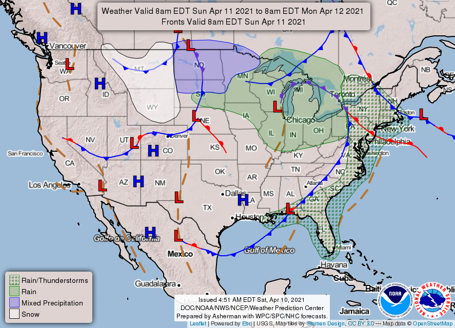

SOURCE: NWS Indianapolis.
Follow NWS Indianapolis on Twitter @NWSIndianapolis for the latest Indianapolis area weather news.