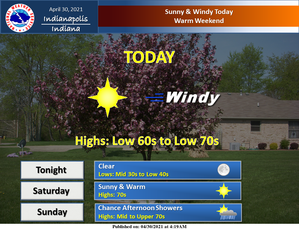
Sunny and windy today. A warm weekend on tap.
INDIANAPOLIS 7-DAY EXTENDED FORECAST

Today: Sunny, with a high near 64. Breezy, with a northwest wind 7 to 12 mph increasing to 15 to 20 mph in the afternoon. Winds could gust as high as 31 mph.
Tonight: Mostly clear, with a low around 39. North wind 9 to 14 mph becoming light and variable after midnight. Winds could gust as high as 20 mph.
Saturday: Sunny, with a high near 74. South southwest wind 6 to 16 mph, with gusts as high as 31 mph.
Saturday Night: Mostly clear, with a low around 57. Southwest wind 9 to 16 mph, with gusts as high as 23 mph.
Sunday: A 30 percent chance of showers after 2 pm. Partly sunny, with a high near 78. Southwest wind 7 to 14 mph, with gusts as high as 23 mph.
Sunday Night: Showers, mainly after 8 pm. Low around 60. The chance of precipitation is 90%. New precipitation amounts between a tenth and quarter of an inch possible.
Monday: Showers and possibly a thunderstorm. High near 75. The chance of precipitation is 90%.
Monday Night: Showers likely and possibly a thunderstorm before 2 am, then a chance of showers and thunderstorms after 2 am. Mostly cloudy, with a low around 56. The chance of precipitation is 60%.
Tuesday: A chance of showers and thunderstorms, then showers likely, and possibly a thunderstorm after 2 pm. Mostly cloudy, with a high near 67. The chance of precipitation is 70%.
Tuesday Night: Showers likely, mainly before 2 am. Mostly cloudy, with a low around 50. The chance of precipitation is 60%.
Wednesday: A 30 percent chance of showers. Partly sunny, with a high near 66.
Wednesday Night: A 10 percent chance of showers. Partly cloudy, with a low around 45.
Thursday: A 20 percent chance of showers. Partly sunny, with a high near 65.
THE UNITED STATES OF AMERICA 3-DAY OUTLOOK


SOURCE: NWS Indianapolis.
Follow NWS Indianapolis on Twitter @NWSIndianapolis for the latest Indianapolis area weather news.