
Showers and thunderstorms will return this weekend after several days of sun and dry weather.
And, so will the heat and humidity as temperatures soar into the upper 80s/low 90s by the weekend.
INDIANAPOLIS 7-DAY EXTENDED FORECAST
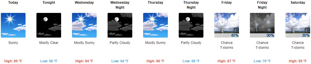
Today: Sunny, with a high near 86. Calm wind becoming north northwest around 6 mph in the afternoon.
Tonight: Mostly clear, with a low around 66. North northwest wind around 6 mph becoming calm in the evening.
Wednesday: Mostly sunny, with a high near 84. North wind 3 to 6 mph.
Wednesday Night: Partly cloudy, with a low around 64. North northeast wind around 6 mph becoming calm in the evening.
Thursday: Mostly sunny, with a high near 86. Calm wind.
Thursday Night: Partly cloudy, with a low around 68.
Friday: A 40 percent chance of showers and thunderstorms, mainly after 2 pm. Mostly sunny, with a high near 87.
Friday Night: A 30 percent chance of showers and thunderstorms, mainly before 8 pm. Mostly clear, with a low around 70.
Saturday: A 30 percent chance of showers and thunderstorms, mainly after 2 pm. Mostly sunny, with a high near 89.
Saturday Night: A 40 percent chance of showers and thunderstorms. Mostly cloudy, with a low around 73.
Sunday: A 50 percent chance of showers and thunderstorms. Mostly sunny and hot, with a high near 91.
Sunday Night: A 20 percent chance of showers and thunderstorms. Partly cloudy, with a low around 71.
Monday: A 30 percent chance of showers and thunderstorms. Mostly sunny, with a high near 90.
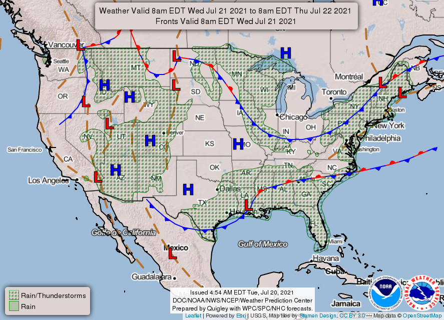
THE UNITED STATES OF AMERICA 3-DAY OUTLOOK


SOURCE: NWS Indianapolis.
Follow NWS Indianapolis on Twitter @NWSIndianapolis for the latest Indianapolis area weather news.