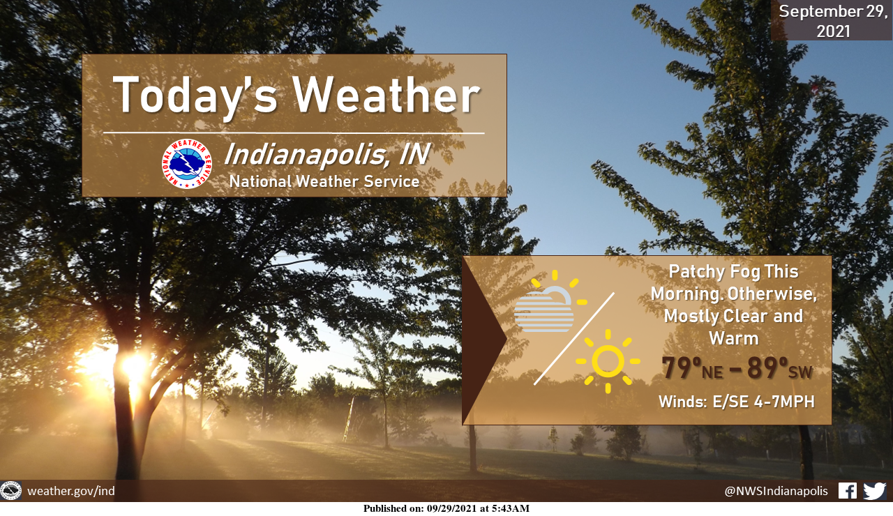
Patchy fog will be possible this morning, transitioning into mostly sunny skies this afternoon. Above seasonal temperatures will continue, with a 10 degree gradient over central Indiana this afternoon. Expect highs in the upper 80s to the SW and upper 70s to the NE.
INDIANAPOLIS 7-DAY EXTENDED FORECAST
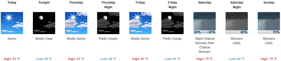
Today: Sunny, with a high near 83. East wind 3 to 5 mph.
Tonight: Mostly clear, with a low around 59. East wind 3 to 5 mph.
Thursday: Mostly sunny, with a high near 81. Calm wind becoming east around 5 mph in the afternoon.
Thursday Night: Partly cloudy, with a low around 58. East southeast wind 3 to 5 mph.
Friday: Mostly sunny, with a high near 81. South southeast wind 3 to 6 mph.
Friday Night: Partly cloudy, with a low around 61.
Saturday: A slight chance of showers, then a chance of showers and thunderstorms after 2 pm. Partly sunny, with a high near 79. The chance of precipitation is 50%.
Saturday Night: A chance of showers and thunderstorms before 8 pm, then showers likely and possibly a thunderstorm between 8 pm and 2 am, then a chance of showers after 2 am. Mostly cloudy, with a low around 64. The chance of precipitation is 60%.
Sunday: A chance of showers, then showers likely, and possibly a thunderstorm after 2 pm. Mostly cloudy, with a high near 75. The chance of precipitation is 70%.
Sunday Night: Showers likely and possibly a thunderstorm. Mostly cloudy, with a low around 60. The chance of precipitation is 60%.
Monday: A 50 percent chance of showers. Mostly cloudy, with a high near 71.
Monday Night: A 20 percent chance of showers. Mostly cloudy, with a low around 56.
Tuesday: A 30 percent chance of showers. Partly sunny, with a high near 69.
THE UNITED STATES OF AMERICA 3-DAY OUTLOOK


SOURCE: NWS Indianapolis.
Follow NWS Indianapolis on Twitter @NWSIndianapolis for the latest Indianapolis area weather news.