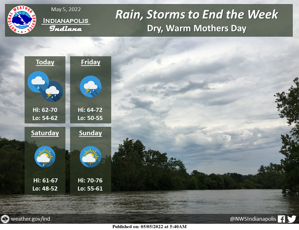
Rain and thunderstorms will end the week.
Heavy rain is expected at times, especially on Friday, which could lead to localized flooding.
By Mother's Day, the weather will be dry and warm.
INDIANAPOLIS 7-DAY EXTENDED FORECAST
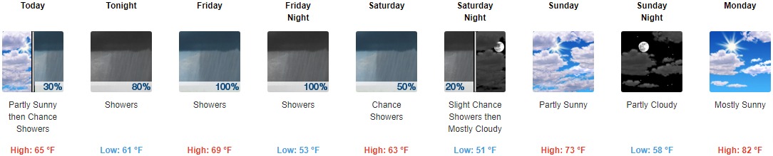
Today: A 30 percent chance of showers after 3pm. Mostly cloudy, with a high near 65. East southeast wind 5 to 7 mph.
Tonight: Showers and possibly a thunderstorm. Steady temperature around 61. East southeast wind 6 to 9 mph. The chance of precipitation is 80%. New rainfall amounts between a quarter and half of an inch possible.
Friday: Showers and possibly a thunderstorm. High near 69. Southeast wind around 6 mph. The chance of precipitation is 100%. New rainfall amounts between a half and three-quarters of an inch possible.
Friday Night: Showers and possibly a thunderstorm before 3am, then a chance of showers and thunderstorms after 3am. Low around 53. North wind around 6 mph. The chance of precipitation is 100%. New rainfall amounts between a tenth and quarter of an inch, except higher amounts possible in thunderstorms.
Saturday: A 50 percent chance of showers, mainly before 3pm. Mostly cloudy, with a high near 63. North wind 7 to 11 mph, with gusts as high as 22 mph. New precipitation amounts of less than a tenth of an inch are possible.
Saturday Night: A 20 percent chance of showers before 9pm. Mostly cloudy, with a low around 51.
Sunday: Partly sunny, with a high near 73.
Sunday Night: Partly cloudy, with a low around 58.
Monday: Mostly sunny, with a high near 82.
Monday Night: Mostly clear, with a low around 65.
Tuesday: Sunny, with a high near 88.
Tuesday Night: Mostly clear, with a low around 65.
Wednesday: Sunny, with a high near 87.
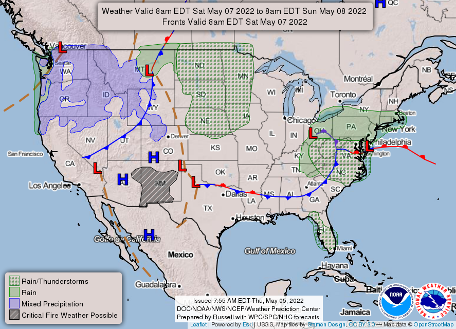
THE UNITED STATES OF AMERICA 3-DAY OUTLOOK


SOURCE: NWS Indianapolis.
Follow NWS Indianapolis on Twitter @NWSIndianapolis for the latest Indianapolis area weather news.