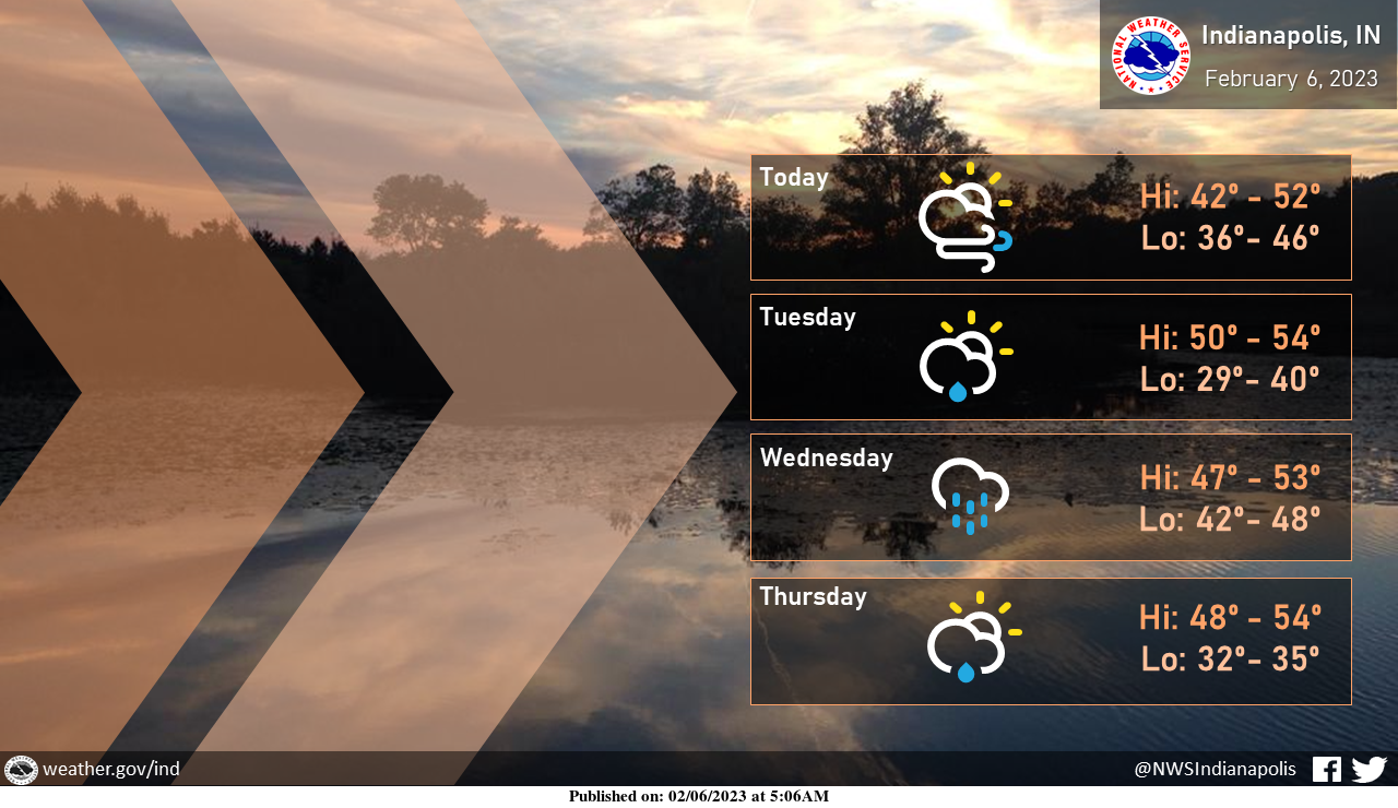
Above normal temperatures will persist through much of the week.
Winds this evening and tonight will be breezy with gusts up to 35 mph at times.
Expect light rain to pass through the area tomorrow with heavier rain moving in Wednesday and Wednesday night.
INDIANAPOLIS 7-DAY EXTENDED FORECAST
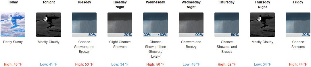
Today: Partly sunny, with a high near 46. Southeast wind 6 to 10 mph.
Tonight: Mostly cloudy, with a low around 41. South southeast wind 13 to 18 mph, with gusts as high as 29 mph.
Tuesday: A 50 percent chance of showers. Cloudy, with a high near 53. Breezy, with a west wind 17 to 22 mph decreasing to 11 to 16 mph in the afternoon. Winds could gust as high as 31 mph. New precipitation amounts of less than a tenth of an inch possible.
Tuesday Night: A 20 percent chance of showers. Mostly cloudy, with a low around 34. West wind around 7 mph becoming northeast after midnight.
Wednesday: Showers likely, mainly after 1pm. Cloudy, with a high near 50. East southeast wind 6 to 10 mph. Chance of precipitation is 60%. New precipitation amounts between a tenth and quarter of an inch possible.
Wednesday Night: Showers. Low around 46. Breezy. Chance of precipitation is 90%. New precipitation amounts between three quarters and one inch possible.
Thursday: A 50 percent chance of showers before 1pm. Mostly cloudy, with a high near 52. Breezy.
Thursday Night: Mostly cloudy, with a low around 34.
Friday: A 30 percent chance of showers, mainly after 1pm. Mostly cloudy, with a high near 44.
Friday Night: Mostly cloudy, with a low around 27.
Saturday: Mostly sunny, with a high near 37.
Saturday Night: Mostly clear, with a low around 25.
Sunday: Sunny, with a high near 47.
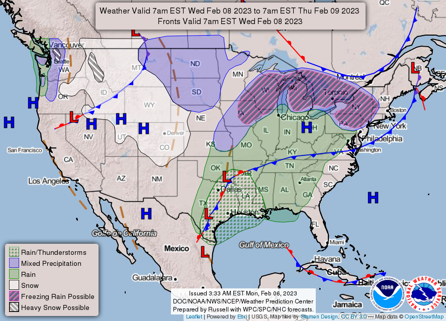
THE UNITED STATES OF AMERICA 3-DAY OUTLOOK


SOURCE: NWS Indianapolis.
Follow NWS Indianapolis on Twitter @NWSIndianapolis for the latest Indianapolis area weather news.