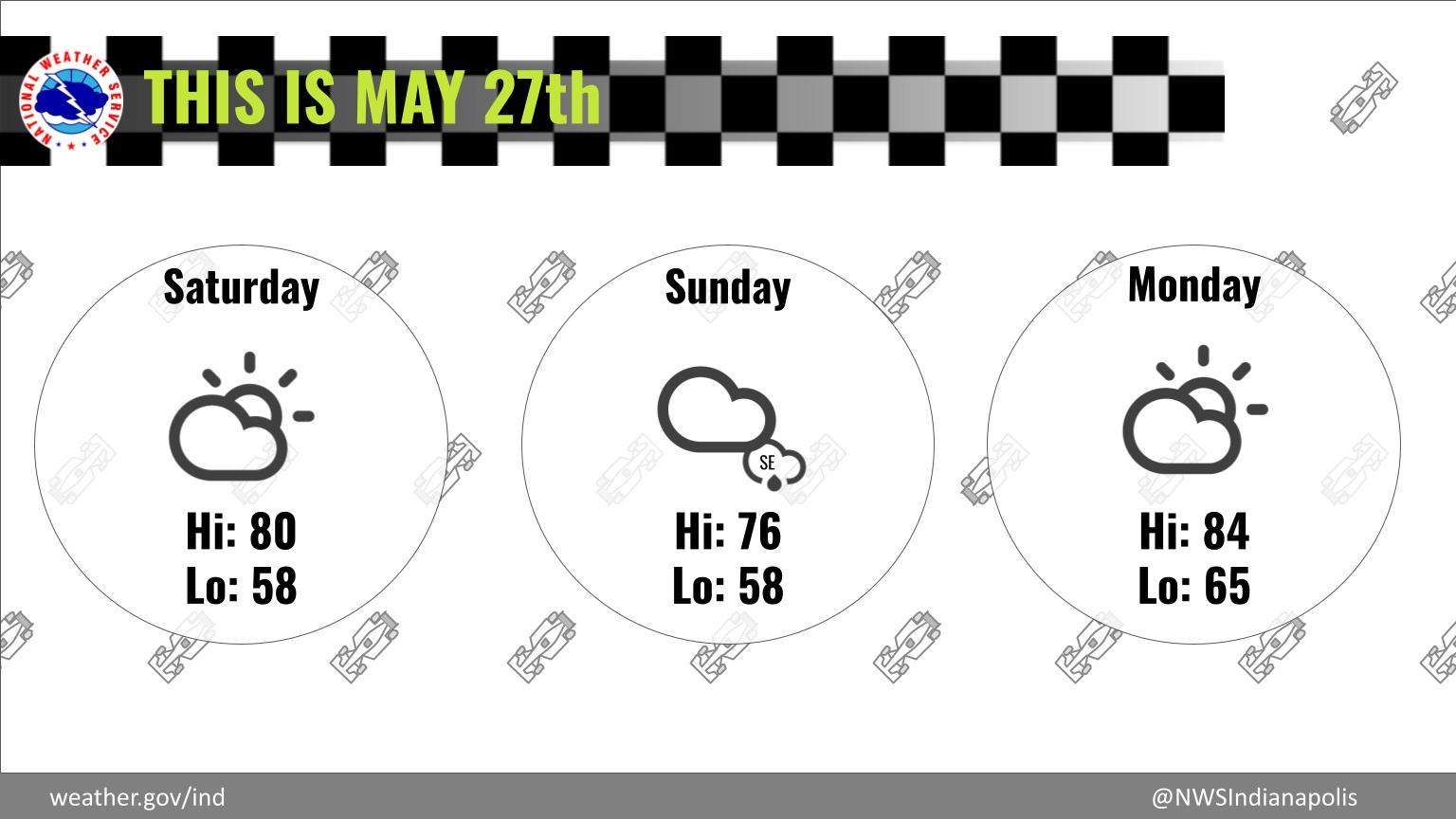
Increasing clouds are expected throughout the day and into tomorrow, with afternoon temperatures in the 70s to near 80.
Tomorrow, most of central Indiana should remain dry, but isolated light showers are possible over SE portions of the region.
This area will also see cooler temperatures tomorrow with highs in the 60s.
Temperatures rebound for Monday, with highs in the mid 80s.
INDIANAPOLIS 7-DAY EXTENDED FORECAST
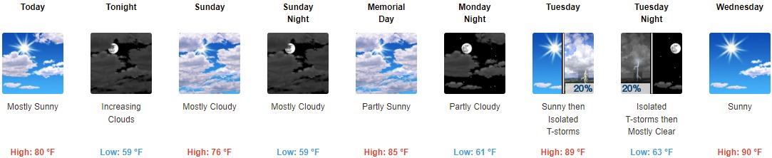
Today: Mostly sunny, with a high near 80. East wind 6 to 8 mph.
Tonight: Increasing clouds, with a low around 59. East wind 5 to 8 mph.
107th Indianapolis 500 Race Day: Mostly cloudy, with a high near 76. Light and variable wind becoming east northeast 5 to 8 mph in the morning.
Sunday Night: Mostly cloudy, with a low around 59. East wind around 8 mph.
Memorial Day: Partly sunny, with a high near 85. North northeast wind 5 to 9 mph.
Monday Night: Partly cloudy, with a low around 61.
Tuesday: Isolated showers and thunderstorms after 3pm. Sunny, with a high near 89. Chance of precipitation is 20%.
Tuesday Night: Isolated showers and thunderstorms before 9pm. Mostly clear, with a low around 63. Chance of precipitation is 20%.
Wednesday: Sunny, with a high near 90.
Wednesday Night: Partly cloudy, with a low around 66.
Thursday: Mostly sunny and hot, with a high near 92.
Thursday Night: Partly cloudy, with a low around 67.
Friday: Isolated showers and thunderstorms. Mostly sunny and hot, with a high near 93. Chance of precipitation is 20%.
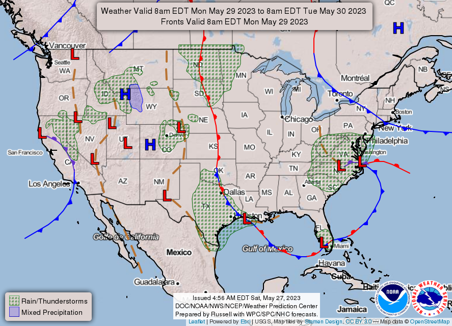
THE UNITED STATES OF AMERICA 3-DAY OUTLOOK

SOURCE: NWS Indianapolis.
Follow NWS Indianapolis on Twitter @NWSIndianapolis for the latest Indianapolis area weather news.