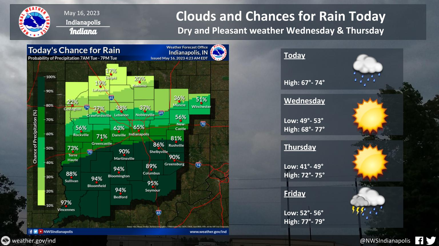
Low pressure moving along the Ohio Valley will bring chances for rain showers Today.
Look for highs in the upper 60s and lower 70s.
Dry and Pleasant Weather will return on Wednesday and Thursday.
INDIANAPOLIS 7-DAY EXTENDED FORECAST
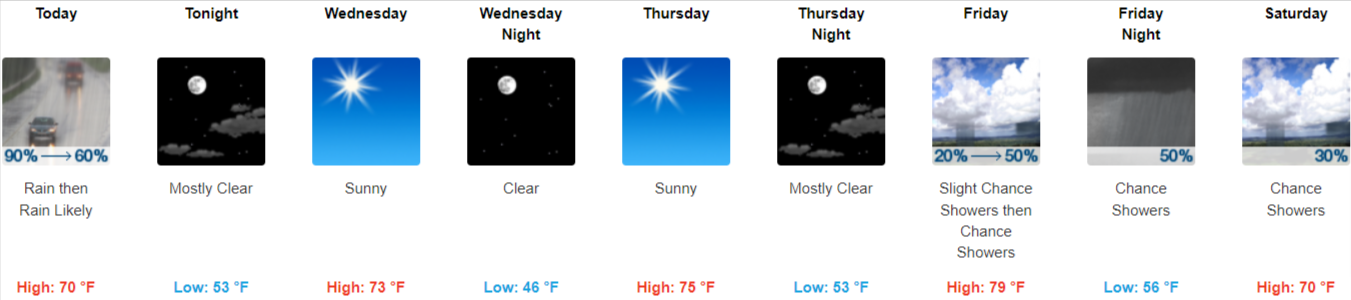
Today: Rain, mainly before 1pm. High near 70. Calm wind becoming northwest 5 to 7 mph in the afternoon. Chance of precipitation is 90%. New precipitation amounts of less than a tenth of an inch possible.
Tonight: Mostly clear, with a low around 53. West northwest wind 6 to 9 mph.
Wednesday: Sunny, with a high near 73. Northeast wind around 10 mph.
Wednesday Night: Clear, with a low around 46. East wind 8 to 13 mph, with gusts as high as 18 mph.
Thursday: Sunny, with a high near 75. East southeast wind 7 to 9 mph.
Thursday Night: Mostly clear, with a low around 53.
Friday: A slight chance of showers, then a chance of showers and thunderstorms after 2pm. Mostly sunny, with a high near 79. Chance of precipitation is 50%.
Friday Night: A chance of showers and thunderstorms. Mostly cloudy, with a low around 56. Chance of precipitation is 50%.
Saturday: A 30 percent chance of showers, mainly before 2pm. Mostly sunny, with a high near 70.
Saturday Night: A 10 percent chance of showers before 8pm. Mostly clear, with a low around 50.
Sunday: Sunny, with a high near 75.
Sunday Night: Mostly clear, with a low around 52.
Monday: Sunny, with a high near 78.
THE UNITED STATES OF AMERICA 3-DAY OUTLOOK


SOURCE: NWS Indianapolis.
Follow NWS Indianapolis on Twitter @NWSIndianapolis for the latest Indianapolis area weather news.