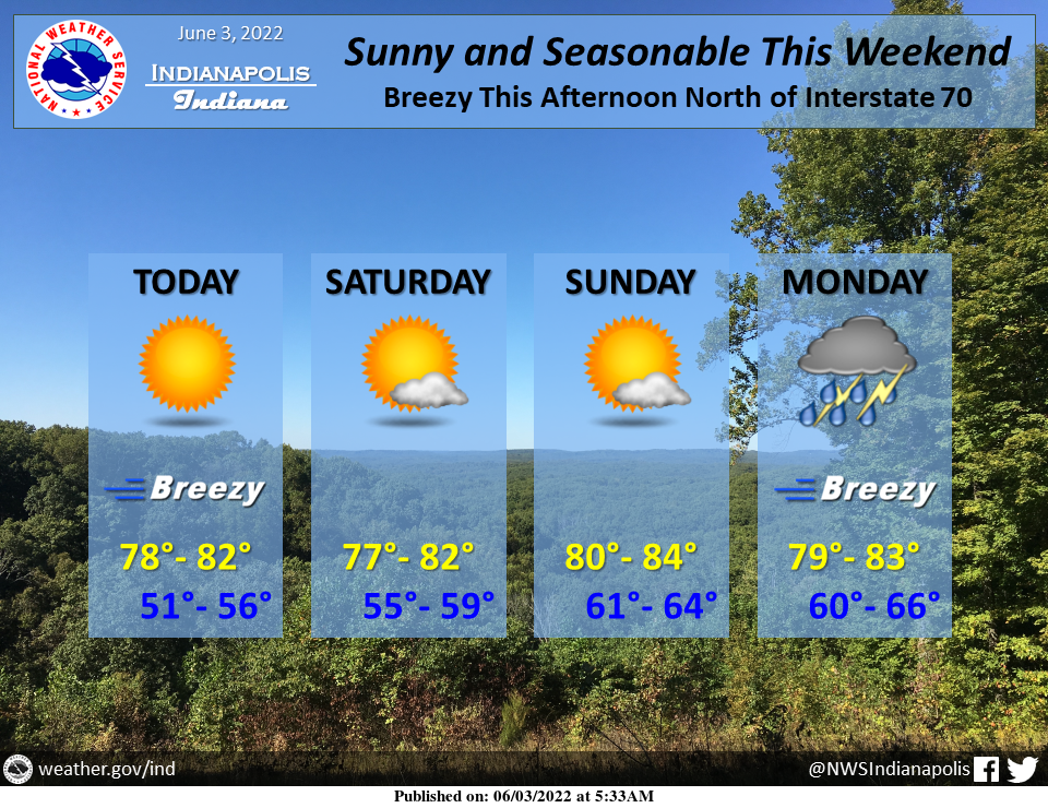
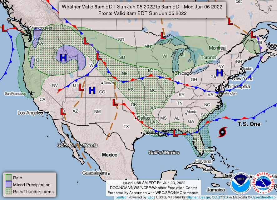
Lovely early summer weather will be the rule through this weekend as surface high pressure slowly crosses the Mid-West.
Low humidity will allow overnights into the 50s before abundant sunshine boosts readings to near 80F.
WNW winds will gust to 20-25 mph this afternoon north of I-70.
Showers and t-storms return Monday.
INDIANAPOLIS 7-DAY EXTENDED FORECAST
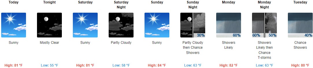
Today: Sunny, with a high near 81. Light west wind becoming west northwest 6 to 11 mph in the afternoon. Winds could gust as high as 18 mph.
Tonight: Mostly clear, with a low around 55. West northwest wind 5 to 8 mph becoming calm in the evening.
Saturday: Sunny, with a high near 81. Calm wind becoming east around 5 mph.
Saturday Night: Partly cloudy, with a low around 58. Southeast wind 3 to 5 mph.
Sunday: Sunny, with a high near 84. South southeast wind 5 to 7 mph.
Sunday Night: A 30 percent chance of showers after 3am. Partly cloudy, with a low around 63.
Monday: A chance of showers and thunderstorms, then showers likely and possibly a thunderstorm after 3pm. Partly sunny, with a high near 82. The chance of precipitation is 60%.
Monday Night: Showers likely and possibly a thunderstorm before 9pm, then a chance of showers and thunderstorms between 9pm and 3am, then a chance of showers after 3am. Mostly cloudy, with a low around 63. The chance of precipitation is 60%.
Tuesday: A 40 percent chance of showers. Partly sunny, with a high near 80.
Tuesday Night: A 40 percent chance of showers. Mostly cloudy, with a low around 61.
Wednesday: A 50 percent chance of showers and thunderstorms. Partly sunny, with a high near 80.
Wednesday Night: A 50 percent chance of showers and thunderstorms. Partly cloudy, with a low around 60.
Thursday: A 20 percent chance of showers. Mostly sunny, with a high near 80.
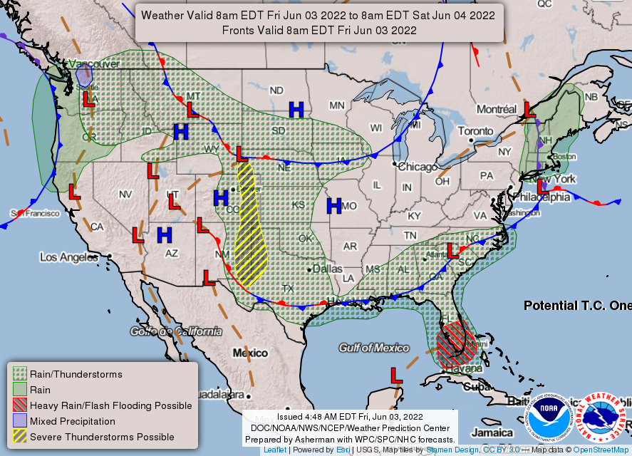
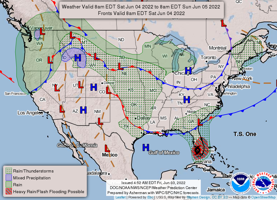
THE UNITED STATES OF AMERICA 3-DAY OUTLOOK
SOURCE: NWS Indianapolis.
Follow NWS Indianapolis on Twitter @NWSIndianapolis for the latest Indianapolis area weather news.