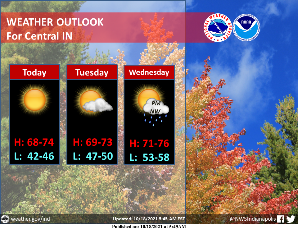
Plenty of sunshine and pleasant temperatures can be expected across central Indiana through midweek.
Rain will start moving into the northwest counties on Wednesday afternoon, overspreading all of central Indiana through the evening and night.
Also, we cannot rule out thunderstorms Wednesday evening and night.
INDIANAPOLIS 7-DAY EXTENDED FORECAST
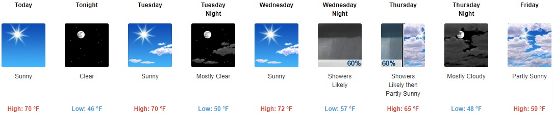
Today: Sunny, with a high near 70. Calm wind becoming west 5 to 7 mph in the afternoon.
Tonight: Clear, with a low around 46. South southwest wind 3 to 5 mph.
Tuesday: Sunny, with a high near 70. South southwest wind 5 to 9 mph.
Tuesday Night: Mostly clear, with a low around 50. South wind around 5 mph.
Wednesday: Sunny, with a high near 72. South southwest wind 5 to 11 mph.
Wednesday Night: A chance of showers before 11pm, then a chance of showers and thunderstorms between 11pm and 2am, then showers likely and possibly a thunderstorm after 2am. Mostly cloudy, with a low around 57. The chance of precipitation is 60%. New rainfall amounts of less than a tenth of an inch, except higher amounts possible in thunderstorms.
Thursday: Showers likely before 8am. Partly sunny, with a high near 65. The chance of precipitation is 60%.
Thursday Night: Mostly cloudy, with a low around 48.
Friday: Partly sunny, with a high near 59.
Friday Night: Partly cloudy, with a low around 42.
Saturday: Mostly sunny, with a high near 59.
Saturday Night: Mostly clear, with a low around 43.
Sunday: A 30 percent chance of showers. Mostly sunny, with a high near 61.
THE UNITED STATES OF AMERICA 3-DAY OUTLOOK


SOURCE: NWS Indianapolis.
Follow NWS Indianapolis on Twitter @NWSIndianapolis for the latest Indianapolis area weather news.