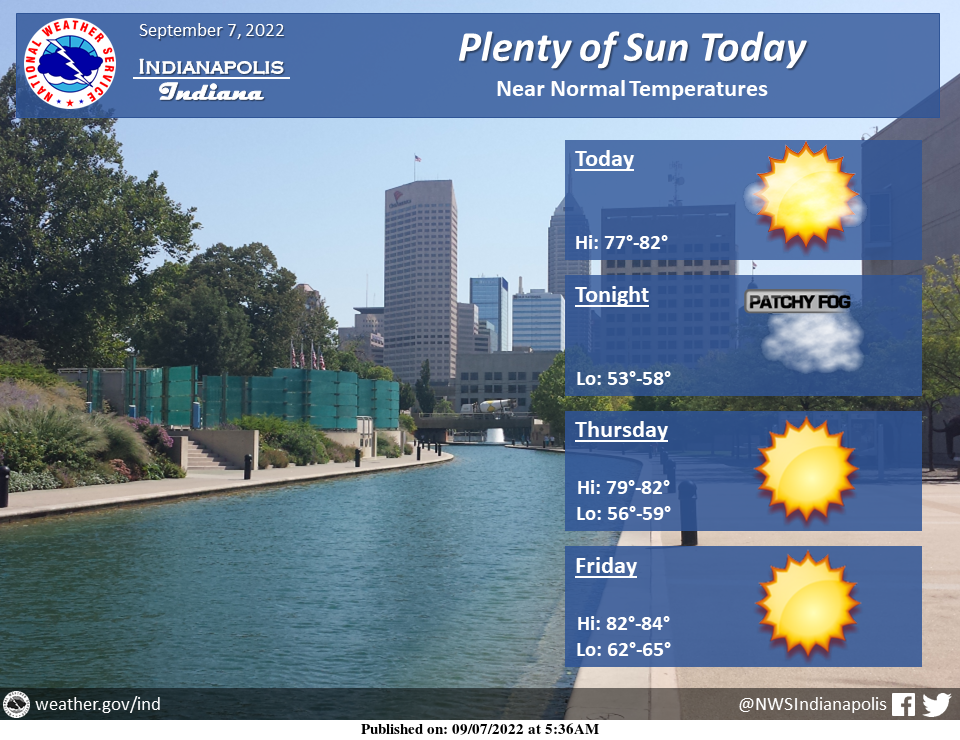
Clouds will continue to gradually clear through the day today with a return to patchy fog late tonight.
Skies will remain sunny through the rest of the work week with near normal temperatures.
INDIANAPOLIS 7-DAY EXTENDED FORECAST
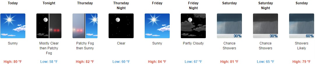
Today: Sunny, with a high near 80. North wind 6 to 10 mph.
Tonight: Patchy fog after 5am. Otherwise, mostly clear, with a low around 58. North wind around 6 mph becoming calm in the evening.
Thursday: Patchy fog before 9am. Otherwise, sunny, with a high near 82. Calm wind becoming northeast around 5 mph in the afternoon.
Thursday Night: Clear, with a low of around 60. East southeast wind 3 to 6 mph.
Friday: Sunny, with a high near 84. Calm wind becoming southeast around 6 mph in the afternoon.
Friday Night: Partly cloudy, with a low of around 67.
Saturday: A 30 percent chance of showers, mainly after 2pm. Mostly cloudy, with a high near 81.
Saturday Night: A 30 percent chance of showers. Mostly cloudy, with a low around 65.
Sunday: A chance of showers, then showers likely, and possibly a thunderstorm after 2pm. Partly sunny, with a high near 79. The chance of precipitation is 60%.
Sunday Night: Showers likely and possibly a thunderstorm before 8pm, then a chance of showers and thunderstorms between 8pm and 2am, then a chance of showers after 2am. Mostly cloudy, with a low of around 62. The chance of precipitation is 60%.
Monday: A 40 percent chance of showers and thunderstorms. Partly sunny, with a high near 72.
Monday Night: A 30 percent chance of showers and thunderstorms. Mostly cloudy, with a low of around 57.
Tuesday: A 30 percent chance of showers. Mostly sunny, with a high near 74.
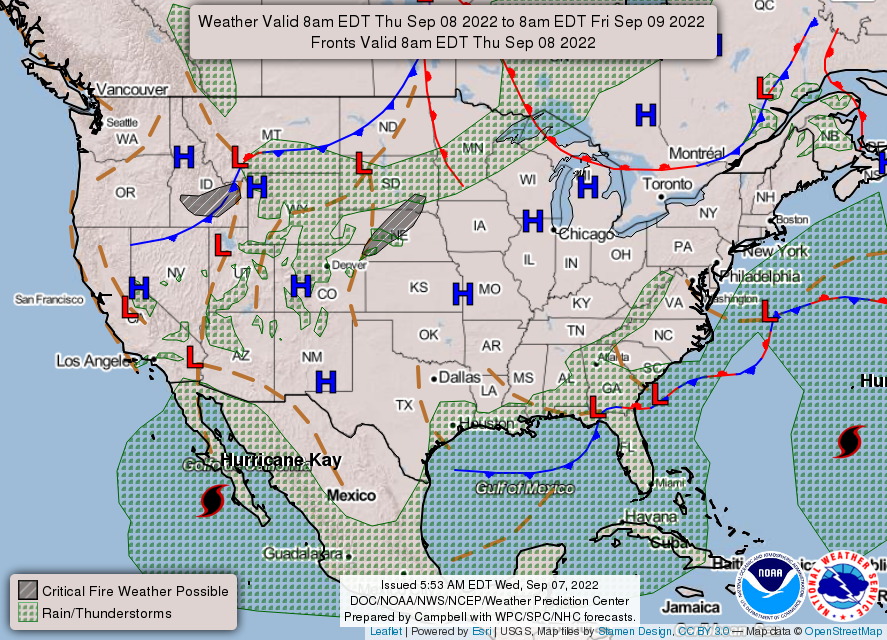
THE UNITED STATES OF AMERICA 3-DAY OUTLOOK


SOURCE: NWS Indianapolis.
Follow NWS Indianapolis on Twitter @NWSIndianapolis for the latest Indianapolis area weather news.