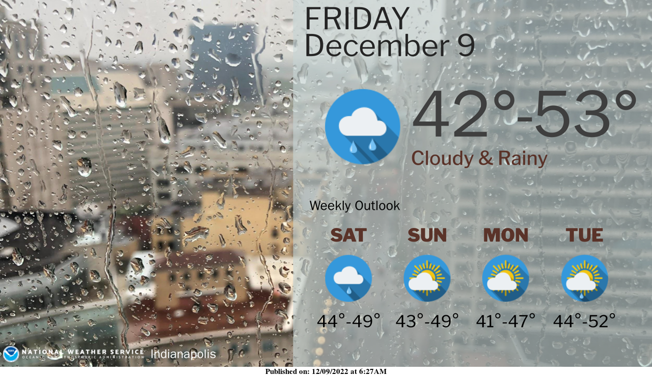
Cloudy and rainy conditions continue today and into tomorrow.
We'll have a few days of dry weather before more rain returns in the middle of next week.
INDIANAPOLIS 7-DAY EXTENDED FORECAST
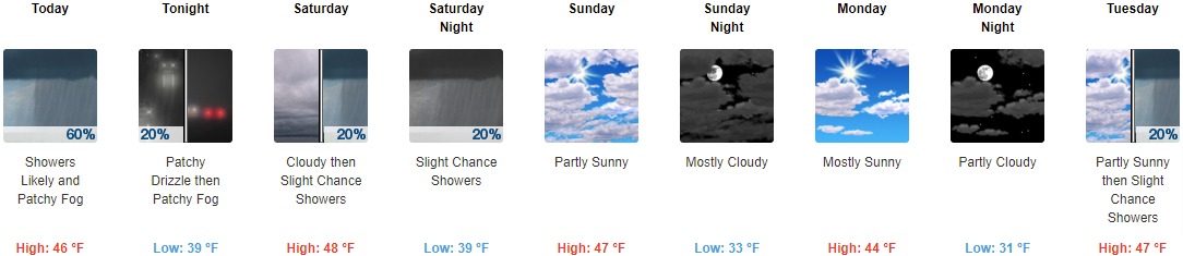
Today: Showers likely, mainly between noon and 5pm. Patchy fog before 11am. Otherwise, cloudy, with a high near 46. East-southeast wind 5 to 9 mph, with gusts as high as 18 mph. The chance of precipitation is 60%. New precipitation amounts of less than a tenth of an inch possible.
Tonight: Patchy drizzle with isolated showers before 7pm, then patchy drizzle between 7pm and 8pm. Patchy fog after midnight. Otherwise, cloudy, with a low of around 39. Northeast wind around 6 mph. The chance of precipitation is 20%.
Saturday: A 20 percent chance of showers after 1pm. Cloudy, with a high near 48. East-northeast wind around 6 mph becomes light and variable in the afternoon.
Saturday Night: A 20 percent chance of showers before 1am. Cloudy, with a low of around 39. Calm wind becoming west northwest around 6 mph after midnight.
Sunday: Partly sunny, with a high near 47. North northwest wind around 6 mph.
Sunday Night: Mostly cloudy, with a low of around 33.
Monday: Mostly sunny, with a high near 44.
Monday Night: Partly cloudy, with a low around 31.
Tuesday: A 20 percent chance of showers after 1pm. Partly sunny, with a high near 47.
Tuesday Night: Showers, mainly after 1am. Low around 40. The chance of precipitation is 80%.
Wednesday: Showers likely. Mostly cloudy, with a high near 50. The chance of precipitation is 70%.
Wednesday Night: A 40 percent chance of showers. Mostly cloudy, with a low of around 36.
Thursday: Partly sunny, with a high near 42.
THE UNITED STATES OF AMERICA 3-DAY OUTLOOK
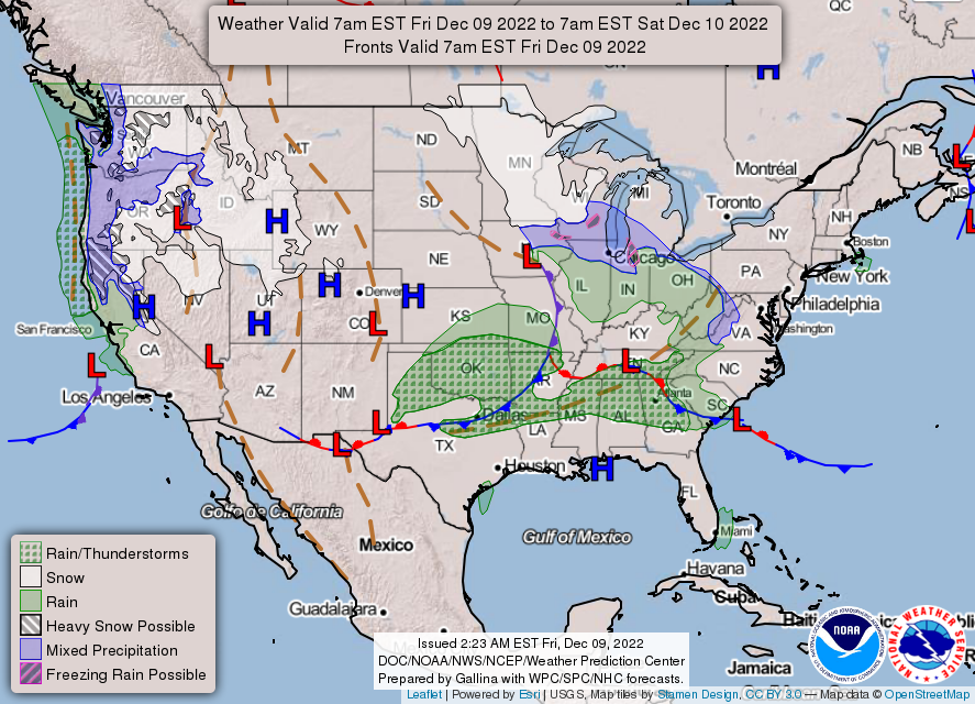
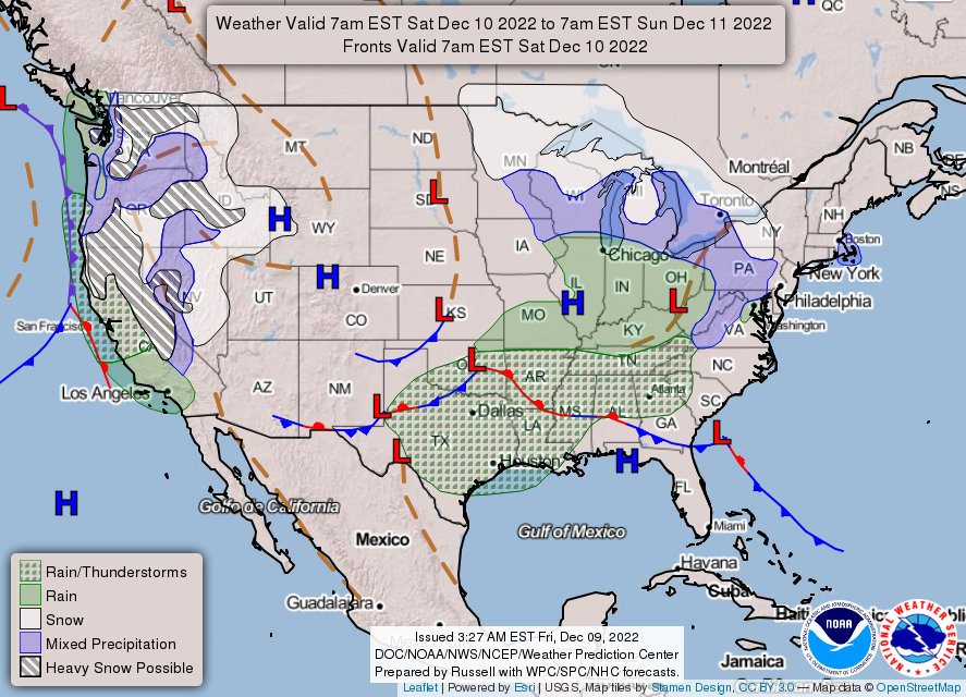

SOURCE: NWS Indianapolis.
Follow NWS Indianapolis on Twitter @NWSIndianapolis for the latest Indianapolis area weather news.