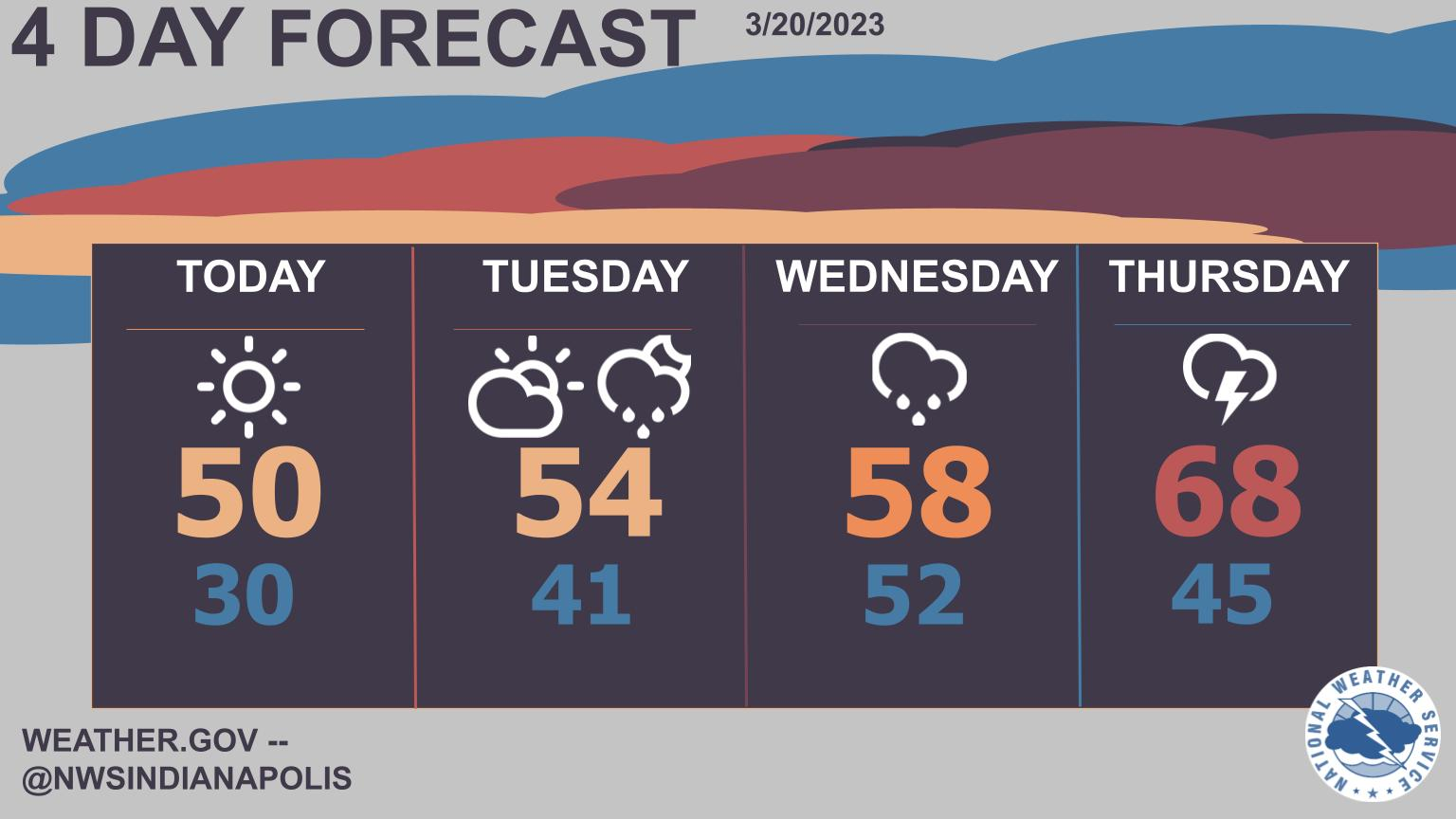
Today will start cold, but temperatures should recover nicely to near 50 under sunny skies.
Expect the warming trend to continue, with temps approaching 70 by Thursday!
Unfortunately, rain chances begin to increase as well with heavy rain possible later in the week.
INDIANAPOLIS 7-DAY EXTENDED FORECAST
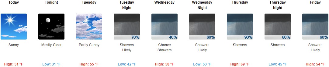
Today: Sunny, with a high near 51. South southwest wind 11 to 14 mph, with gusts as high as 23 mph.
Tonight: Mostly clear, with a low around 31. South southwest wind 8 to 10 mph, with gusts as high as 18 mph.
Tuesday: Partly sunny, with a high near 55. South wind 8 to 13 mph, with gusts as high as 18 mph.
Tuesday Night: Showers likely, mainly before 2am. Cloudy, with a low around 42. South wind 10 to 13 mph, with gusts as high as 23 mph. Chance of precipitation is 70%. New precipitation amounts of less than a tenth of an inch possible.
Wednesday: A 40 percent chance of showers. Cloudy, with a high near 58. South southwest wind around 15 mph, with gusts as high as 24 mph.
Wednesday Night: Showers likely, with thunderstorms also possible after 5am. Cloudy, with a low around 53. Chance of precipitation is 60%. New rainfall amounts of less than a tenth of an inch, except higher amounts possible in thunderstorms.
Thursday: Showers likely and possibly a thunderstorm, then showers after 8am. High near 69. Chance of precipitation is 90%.
Thursday Night: Showers. Low around 45. Chance of precipitation is 80%.
Friday: Showers likely. Mostly cloudy, with a high near 54. Chance of precipitation is 60%.
Friday Night: A 40 percent chance of showers. Mostly cloudy, with a low around 39.
Saturday: A 20 percent chance of showers. Partly sunny, with a high near 53.
Saturday Night: Partly cloudy, with a low around 36.
Sunday: A 30 percent chance of showers. Mostly sunny, with a high near 61.
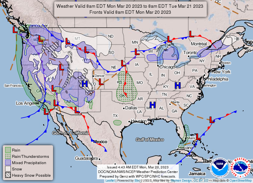
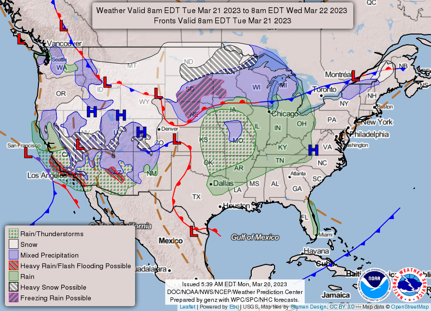
THE UNITED STATES OF AMERICA 3-DAY OUTLOOK

SOURCE: NWS Indianapolis.
Follow NWS Indianapolis on Twitter @NWSIndianapolis for the latest Indianapolis area weather news.