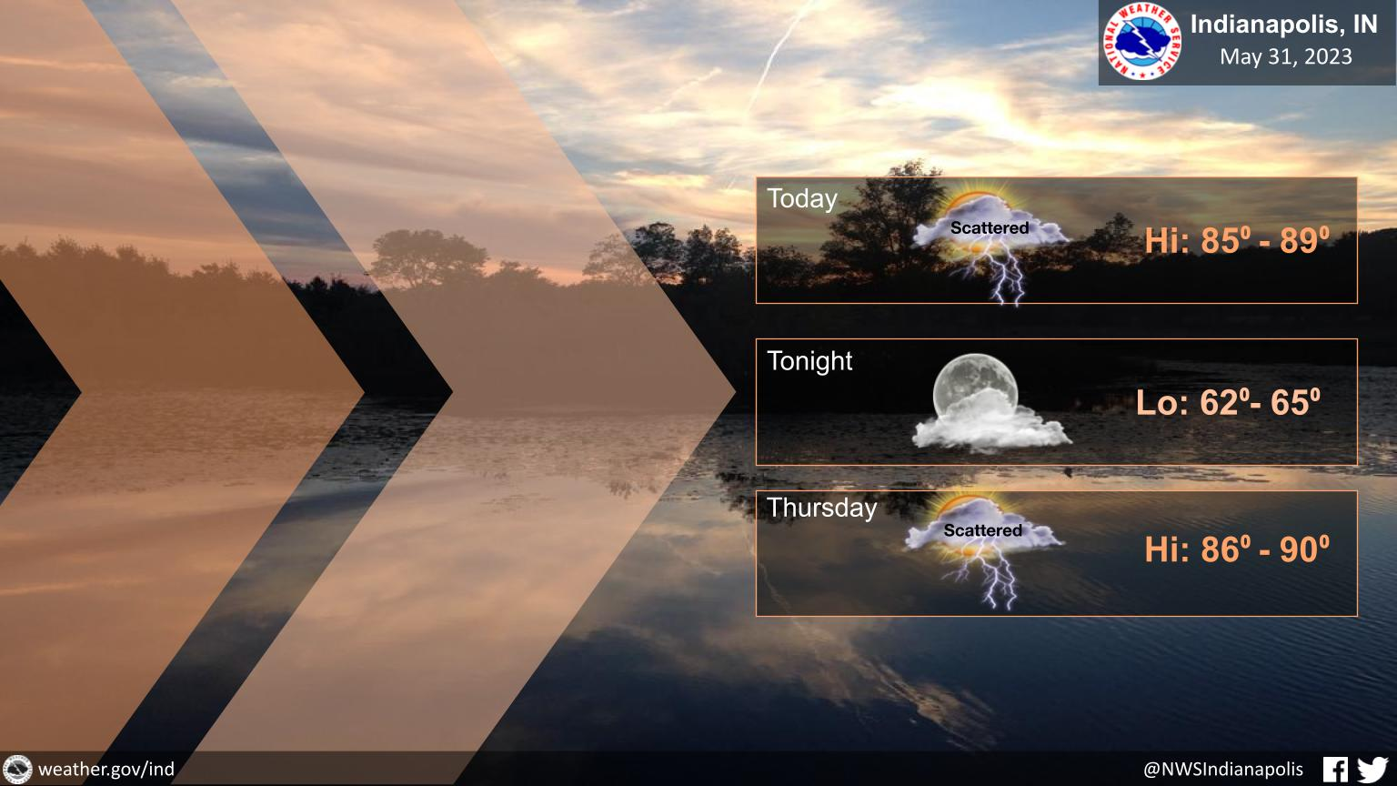
It will be another warm day with high temperatures reaching the middle to upper 80s.
Scattered showers and a few thunderstorms can be expected again this afternoon as well.
INDIANAPOLIS 7-DAY EXTENDED FORECAST
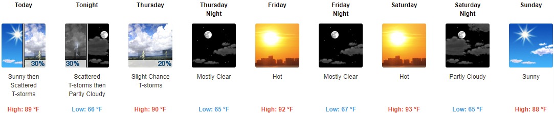
Today: Scattered showers and thunderstorms, mainly after 3pm. Increasing clouds, with a high near 89. South southeast wind 6 to 8 mph. Chance of precipitation is 30%.
Tonight: Scattered showers and thunderstorms, mainly before 7pm. Partly cloudy, with a low around 66. East southeast wind around 6 mph. Chance of precipitation is 30%.
Thursday: A slight chance of showers, with thunderstorms also possible after 11am. Sunny, with a high near 90. East southeast wind 5 to 8 mph. Chance of precipitation is 20%.
Thursday Night: Mostly clear, with a low around 65. Southeast wind around 6 mph becoming east northeast after midnight.
Friday: Sunny and hot, with a high near 92. East northeast wind 6 to 10 mph.
Friday Night: Mostly clear, with a low around 67.
Saturday: Sunny and hot, with a high near 93.
Saturday Night: Partly cloudy, with a low around 65.
Sunday: Sunny, with a high near 88.
Sunday Night: Partly cloudy, with a low around 60.
Monday: A 20 percent chance of showers. Mostly sunny, with a high near 86.
Monday Night: A 10 percent chance of showers. Partly cloudy, with a low around 62.
Tuesday: A 20 percent chance of showers and thunderstorms. Mostly sunny, with a high near 85.
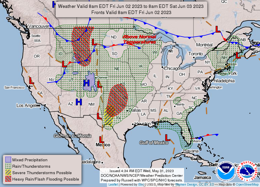
THE UNITED STATES OF AMERICA 3-DAY OUTLOOK

SOURCE: NWS Indianapolis.
Follow NWS Indianapolis on Twitter @NWSIndianapolis for the latest Indianapolis area weather news.